Hart Energy's GeoWeb Portal
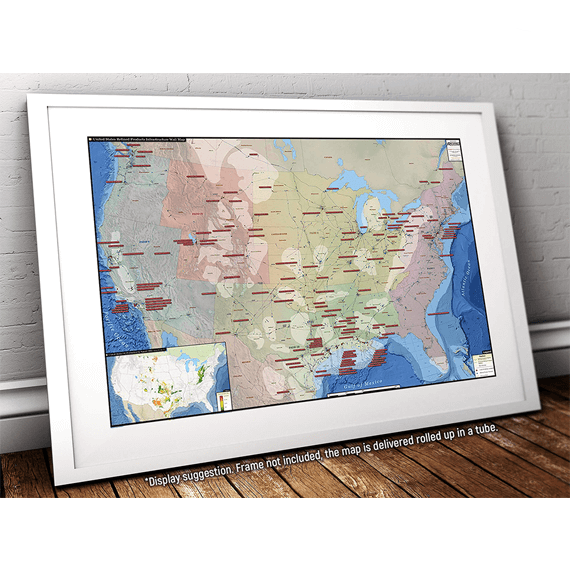
This portal allows users to work with the Rextag Energy GIS Data - the most complete and detailed global database of energy infrastructure assets - without the need for any additional software or special technical training.

- Use intuitive navigational tools to zoom, pan, measure, label and identify assets such as oil & gas pipelines, electric powerlines, refineries, gas plants, and more…
- Utilize the query and filtering panel to drill down into the data to lookup specific information.
- Filter or zoom in to specific pipelines and facilities based on simple or complex combinations of attributes such as facility name, owner, type, operational status and others.
- Select from 7 different map backgrounds such as roads, aerial, terrain topography and more.
- Create snapshot images to be used in PowerPoint slides or easily generate PDF maps to print or email.

Additionally, you can access the Natural Gas Reports as an added component that allows users to access up to date and historical daily gas flow and capacity information, dating back to 2008, for more than 20,000 unique pipeline interconnections. The Natural Gas Reports includes not only gas flow but also pipeline contracts, capacity information, financial records as well as other detailed data for interstate natural gas pipelines and facilities.
The GeoWeb Portal is your gateway to a better understanding of the complex energy networks that power our world, from the well head to the burner tip, GeoWeb covers the entire supply chain.

Contact Hart Energy “Rextag” today to begin your trial and experience how the Portal can enrich your understanding of the energy market.
Please complete the form below to request additional information regarding our data sets as well as a sample GeoWeb Data file or to schedule a live demonstration online.
* Denotes Mandatory fields


